Is Sydney a Walkable City?
Is Sydney a walkable city? An honest answer-track guide to where Sydney walks well, where it does not, and how ferries and trains fill the gaps.
Is Sydney a Walkable City?
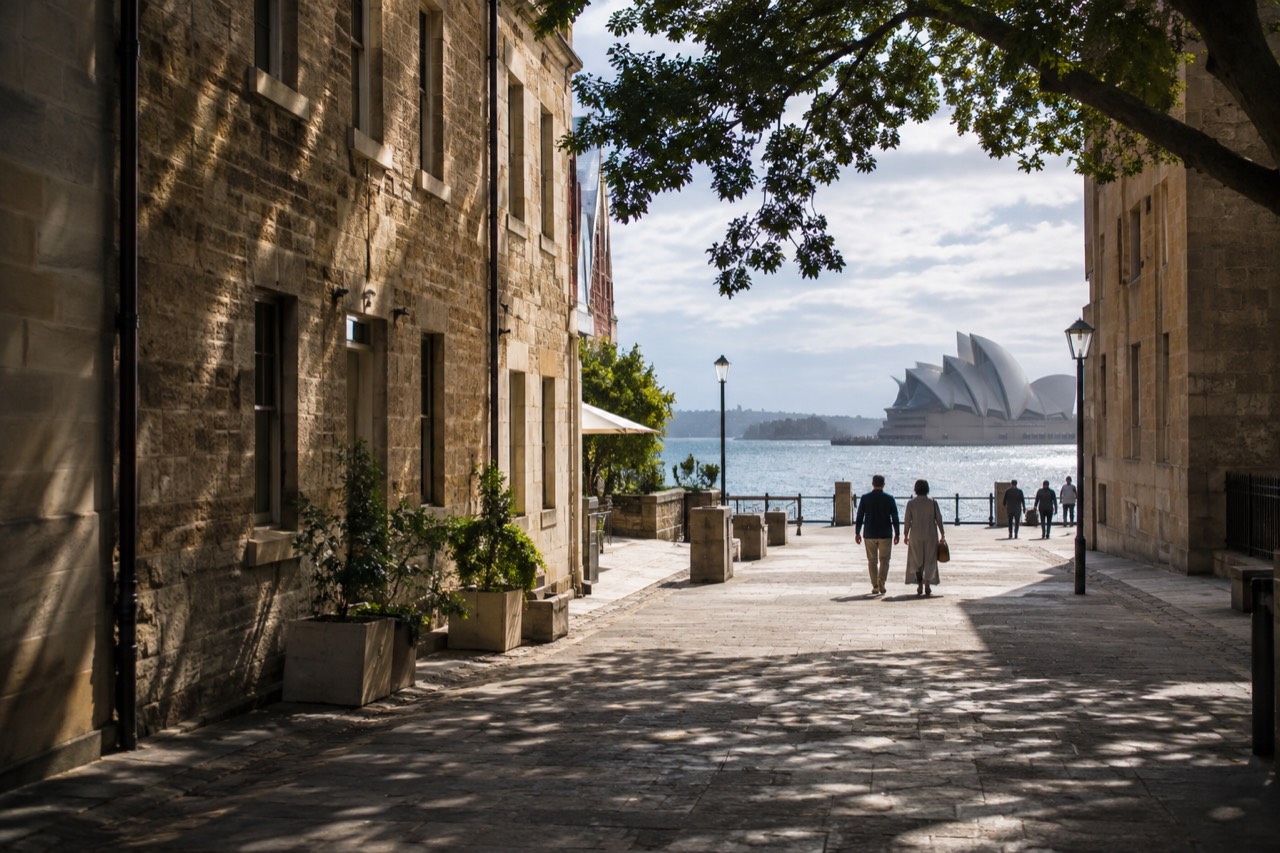
Yes, Sydney is a walkable city in the areas most visitors come to see. The central business district is compact enough to cross on foot in under half an hour, and The Rocks, Circular Quay, the Royal Botanic Garden Sydney and Darling Harbour all link up along the harbor. Between neighborhoods, though, you want a ferry, a train or a bus. The central business district is compact enough to cross on foot in under half an hour, and The Rocks, Circular Quay, the Royal Botanic Garden Sydney and Darling Harbour all link up along the harbour without ever needing a vehicle. Where Sydney stops being walkable is the space between its neighbourhoods: the harbour cuts the city in two, the Eastern Suburcs beaches sit kilometres apart, and the payoffs for walking come from pairing good shoes with the ferry network.
That last point is the one most guides undersell. Sydney is not a city you walk the way you walk central Melbourne or central Adelaide, block after block on a flat grid. It is a city of fingers and bays. The harbour pushes deep inland at Darling Harbour, Woolloomooloo and Blackwattle Bay, and every one of those inlets breaks the street pattern. So the honest framing is this: within a neighbourhood, Sydney is excellent on foot. Between neighbourhoods, you want a ferry, a train or a bus, and the good news is that the same Opal card, or even a contactless credit card, covers all of them with the same daily caps.
Which Parts of Sydney Can You Cover Entirely on Foot?
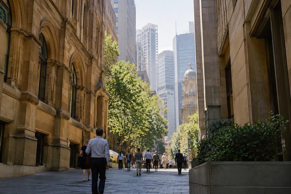
The CBD, The Rocks, Circular Quay, Barangaroo, the Royal Botanic Garden Sydney and Woolloomooloo form one continuous walkable zone taking in most of postcard Sydney. South of the CBD, Chinatown, Darling Harbour's southern promenade and the Queen Victoria Building sit within an easy walk of Town Hall. The Bondi to Coogee coastal walk and the Manly to Shelly Beach path cover the beach belt. A walker can start at Barangaroo's headland park, follow the foreshore through Darling Harbour or around the Quay, cut through The Rocks' sandstone lanes, then trace the harbour edge past the Opera House and into the Royal Botanic Garden Sydney, whose entry is free, before dropping into Woolloomooloo. That loop is a full day of walking with no transport at all, and it costs nothing but shoe leather.
The Rocks deserves particular credit here. It is the oldest surviving colonial neighbourhood in Australia and it is genuinely better on foot than any other way, because its lanes, staircases and courtyard dead-ends defeat cars entirely. A guided walk such as The Rocks Guided Walking Tour adds the stories behind the sandstone, and the neighbourhood's pub walk is another way to cover it with a guide setting the pace. For visitors who prefer structure, the guided walking tours overview compares the main options.
South of the CBD the pattern continues more quietly. Chinatown, Darling Harbour's southern promenade and the Queen Victoria Building (QVB) all sit within an easy walk of Town Hall, and Hyde Park chains the CBD's two halves together. A food tour through this belt, like the six-tasting Secret Food Tours walk, turns a stroll into a meal plan, which is the most Sydney way possible to cover distance on foot.
The other genuinely walkable zone is the beach belt. The Bondi to Coogee coastal walk is the best-known footpath in the city, and it is free: the only bookable versions are private guides, so the walk itself costs nothing. Manly pairs with Shelly Beach on a short, flat foreshore path. The Bondi to Coogee coastal walk guide covers the full route, its gradients and where to swim safely along the way, and the Manly Beach guide does the same for the northern side.
Where Does Walking Stop Working in Sydney?
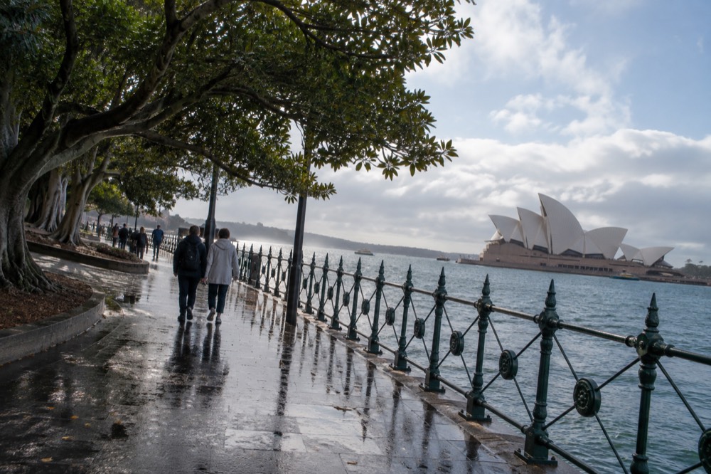
Walking stops working wherever the harbour or a ridge intervenes, which means three specific places: crossing between the CBD and the North Shore, reaching the Eastern Suburcs beaches, and any trip to the Blue Mountains or the Hunter Valley. The harbour itself is the obvious break. There is no way to walk across Sydney Harbour Bridge's roadway, though the bridge's eastern footpath is open to pedestrians and the pylon lookout rewards the crossing with a view. The North Shore, Manly and the Northern Beaches all sit on the far side of the water.
The Eastern Suburcs are the second break. Bondi is roughly 8 kilometres from the CBD, and there is no pleasant way to walk it: the direct route runs through Paddington's ridges and busy arterial roads. This is where the transport network takes over, and where the honest answer to the walkability question becomes a hybrid. Sydney rewards the visitor who walks within a precinct and rides between precincts, which is exactly how the ferries, trains and buses are designed.
The third break is the day-trip belt. The Blue Mountains, the Hunter Valley, the Royal National Park and Kiama are all outside walking range of the city by any definition, and the Blue Mountains in particular is a destination where the walks are the point but the journey is not walkable. An all-inclusive small-group day trip with a local guide handles the 10-hour round journey, and the Blue Mountains day trip guide covers the train alternative for independent travellers.
How Does Public Transport Fill the Walking Gaps?
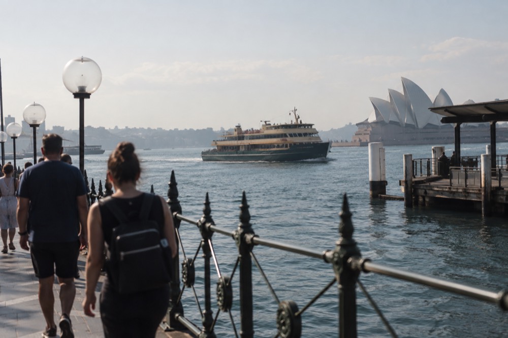
Sydney's ferries, metro, trains, buses and light rail all accept the same Opal card or contactless card, with a daily cap of A$19.30 Monday to Thursday and A$9.65 on Fridays, weekends and public holidays, which makes a hybrid walk-and-ride day genuinely cheap. The ferry network is the piece that matters for walkers, because it turns the harbour from a barrier into a route. The Manly ferry costs A$9.20 one way in the 9-kilometre-plus fare band, and the Taronga Zoo ferry lands you at a wharf where the zoo's own walk meets the sea.
Transport for NSW confirms that a contactless credit or debit card is charged identically to an Adult Opal card and receives every benefit, including the caps and the off-peak discount, so most visitors never need to buy a physical card at all. The one trap is the airport: the station access fee of A$18.61 sits outside both daily caps and is charged on top of the train fare at both airport stations. The 400 bus avoids it entirely. More of these guides are collected on Sydney Travel Guide.
| Transport mode | Walkability role | Adult fare (A$) | Notes |
|---|---|---|---|
| Ferry (0-9 km) | Links harbourside walk zones | $7.35 | No off-peak discount |
| Ferry (9+ km, incl. Manly) | Replaces a 20 km walk detour | $9.20 | F1 Manly route |
| Metro/train (0-10 km) | CBD to inner suburbs | $4.33 peak / $3.03 off-peak | 30% off-peak discount Fri-Sun |
| Bus (0-3 km) | Short hop between precincts | $3.30 peak / $2.31 off-peak | Tap off required |
| Light rail (0-3 km) | CBD to Darling Harbour, Surry Hills | $3.30 peak / $2.31 off-peak | Same bands as bus |
The practical pattern that falls out of this table is simple: walk the precinct, tap on for the leg between precincts, walk again. A day built that way rarely exceeds the A$9.65 cap if it falls on a Friday, Saturday, Sunday or public holiday, and public holidays are the cheapest days to travel widely for exactly that reason. The Opal card guide for visitors breaks the caps and concessions down further, and the getting around Sydney guide covers the modes in full.
What Should You Plan for When Walking in Sydney?
Plan for hills, because Sydney's harbor topography means stairs and ridgelines are normal; for rain, because June is the wettest month at 133.1 mm on average, wetter than any summer month; and for sun, because the UV index passes the protection threshold of 3 for most of the year, so pack a hat and sunscreen even on a mild July walk. Sydney's harbour topography means stairs and ridgelines are normal: The Rocks climbs from the quay, Paddington sits on a sandstone ridge, and the coastal walk's headlands rise and fall between every beach. The Bureau of Meteorology's long-run averages for Observatory Hill show June as Sydney's wettest month at 133.1 mm on average, wetter than any summer month, while August is its clearest month with 13.4 mean clear days. February, in the middle of peak season, is statistically the cloudiest.
| Month | Mean max °C | Mean rainfall mm | Mean clear days | Walking verdict |
|---|---|---|---|---|
| January | 26.0 | 101.2 | 6.8 | Hot; walk early |
| February | 25.8 | 119.3 | 5.3 | Cloudiest month; humid |
| June | 17.0 | 133.1 | 9.1 | Wettest month; carry a shell |
| July | 16.4 | 96.3 | 12.0 | Cool, clear, excellent walking |
| August | 17.9 | 80.2 | 13.4 | Clearest skies of the year |
| October | 22.2 | 76.7 | 8.1 | Warm, long days after daylight saving starts |
The sun is the other planning item. Sydney's UV index passes the protection threshold of 3 for most of the year and reaches extreme levels in summer, so a hat and sunscreen belong in the day pack even on a July walk that feels mild. None of this makes the city less walkable; it just makes the difference between a good walking day and a scorched one. The site's own best time to visit Sydney guide weighs these months against crowds and prices.
The Verdict on Walking Sydney
Sydney is a walkable city with an asterisk: the harbor makes a purely pedestrian city impossible, so walk the neighborhoods, ride the gaps, and let the ferries do the heavy lifting across the water. Base yourself near the CBD or Circular Quay and you can go whole days without a vehicle, losing nothing, while every ferry leg doubles as a sightseeing run. The harbour makes a purely pedestrian city impossible, but it also makes a partly pedestrian city a pleasure, because every ferry leg is itself a sightseeing run. Visitors who base themselves near the CBD or Circular Quay can go whole days without a vehicle and lose nothing, while anyone chasing beaches, mountains or wine country will need the transport layer, which is cheap, capped and contactless-friendly. That hybrid is the honest answer, and it is a better travel experience than a flat grid would be.
Common Questions About Walking in Sydney
Is Sydney a walkable city?
Yes, in the areas most visitors visit: the CBD, The Rocks, Circular Quay, Barangaroo, the Royal Botanic Garden Sydney and Woolloomooloo link up on foot. The harbour and the distances between beach and mountain precincts mean you will want ferries and trains between neighbourhoods, with daily caps keeping the cost low.
Can you walk around Sydney without a car?
Yes. The inner city, the harbour foreshore and the coastal walk belt are all manageable without a car, and the ferry and train network covers the gaps. A car becomes useful only for day trips to the Blue Mountains or the Hunter Valley if you prefer not to take a tour or a train.
How long does it take to walk across the Sydney CBD?
The CBD is compact: walking from Circular Quay to Central Station takes roughly 25 to 30 minutes at a normal pace, and the harbour foreshore loop through The Rocks, the Opera House and the Royal Botanic Garden Sydney is a comfortable half-day walk with stops.
Is the Sydney Harbour Bridge walkable?
Yes. The bridge's eastern footpath is open to pedestrians and connects the CBD side with Milsons Point on the North Shore, with the pylon lookout along the way. The climb-over-the-arch experience is a separate, ticketed product.
What is the best walk in Sydney?
The Bondi to Coogee coastal walk is the most famous, and it is free. The harbour foreshore loop through the Royal Botanic Garden Sydney past the Opera House is the most convenient from the CBD, and The Rocks offers the best short historic wander.